We have grown to become an international business operating in emerging and mature economies alike. We are one of the few companies with the skills to deliver complex projects of huge scale and take advantage of the growth in long-term infrastructure markets.


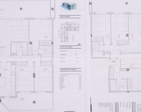


We provide GIS services tailored to your project’s unique geographic, analytical, and operational requirements. By understanding your data and objectives, we deliver precise mapping, spatial analysis, and visualization solutions that empower better decision-making and enhance the efficiency of your planning and operational strategies.
Our team uses state-of-the-art GIS software and visualization tools to create accurate, interactive, and easy-to-understand maps. From 2D to 3D representations, our visualizations make complex spatial data comprehensible, enabling stakeholders to interpret insights quickly and make informed, actionable decisions with confidence.
We prioritize high-quality, accurate geospatial data collection, analysis, and management. Our stringent quality checks and verification processes ensure that clients can rely on our GIS outputs for critical planning, resource management, and operational decision-making, reducing errors and mitigating risks in your projects.
Our GIS experts come from diverse backgrounds including cartography, remote sensing, urban planning, and environmental science. This multidisciplinary knowledge enables us to approach projects holistically, offering solutions that integrate spatial, technical, and operational insights for optimal results.
We optimize resources and workflow to deliver GIS services that balance quality and cost-efficiency. By leveraging automation, smart data management, and precise analytics, we provide actionable spatial insights without exceeding budgets, helping clients maximize ROI on their geospatial projects
Our GIS services extend beyond initial delivery. We offer ongoing data updates, system maintenance, training, and technical support, ensuring your GIS infrastructure remains accurate, functional, and adaptable as project needs evolve. This proactive approach keeps your spatial data reliable and decision-ready at all times.
We offer a complimentary consultation to understand your requirements, assess project needs, and provide expert guidance—helping you make informed decisions with no obligation.
With a proven track record, we have successfully delivered high-quality solutions to over 700 clients across the globe, earning their trust through expertise, reliability, and excellence in every project.
We begin by understanding your objectives, technical requirements, and project scope to develop a clear and effective plan.
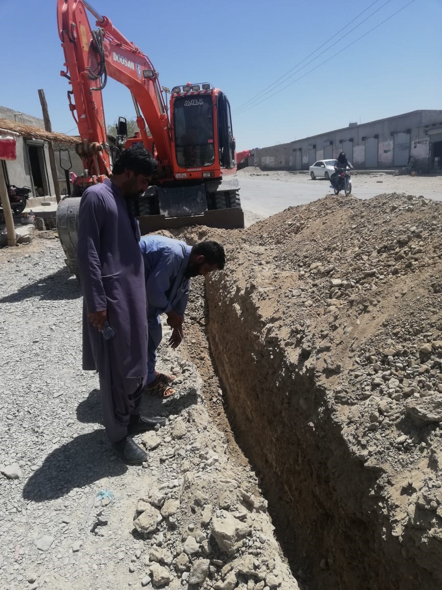
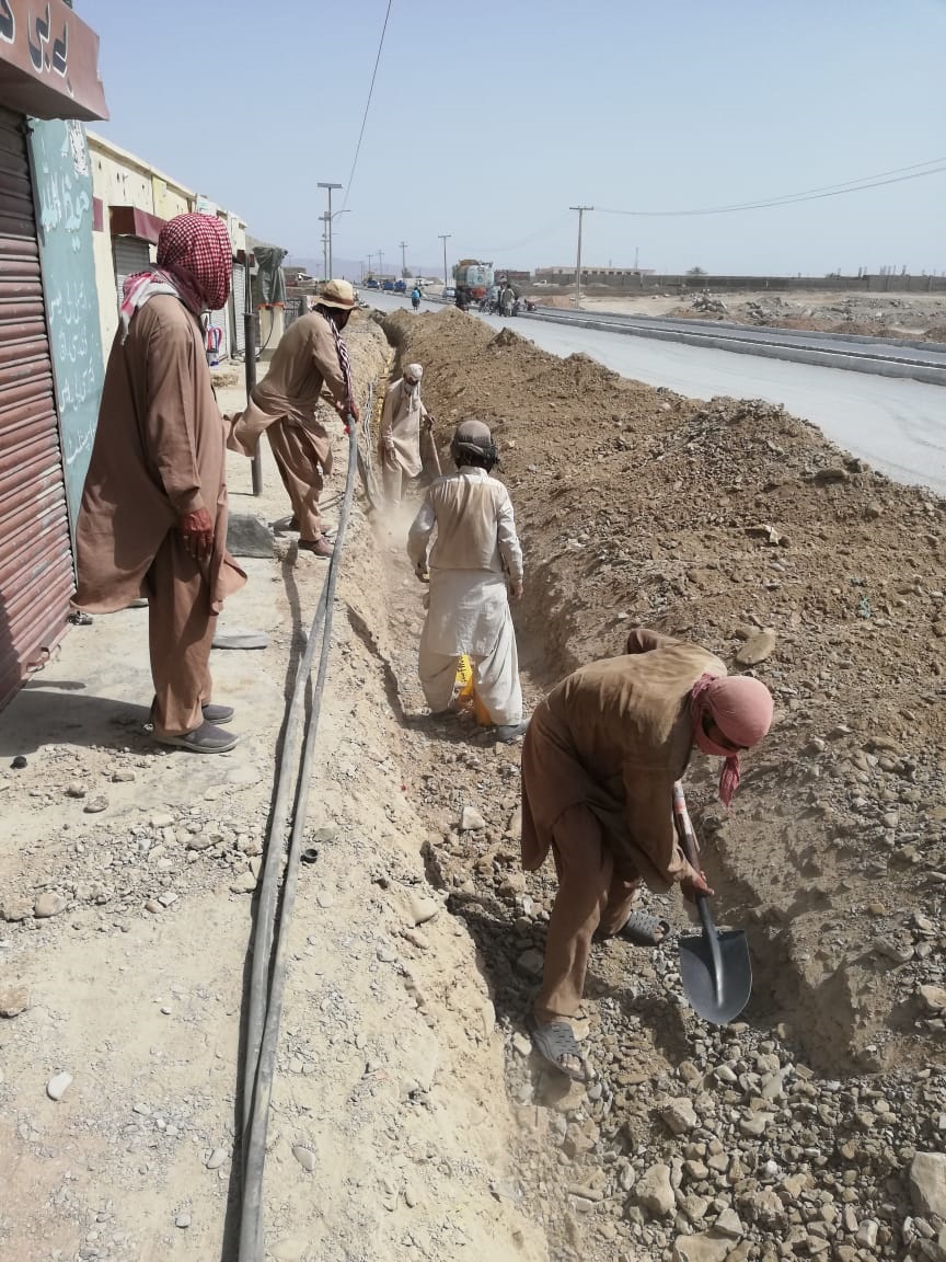
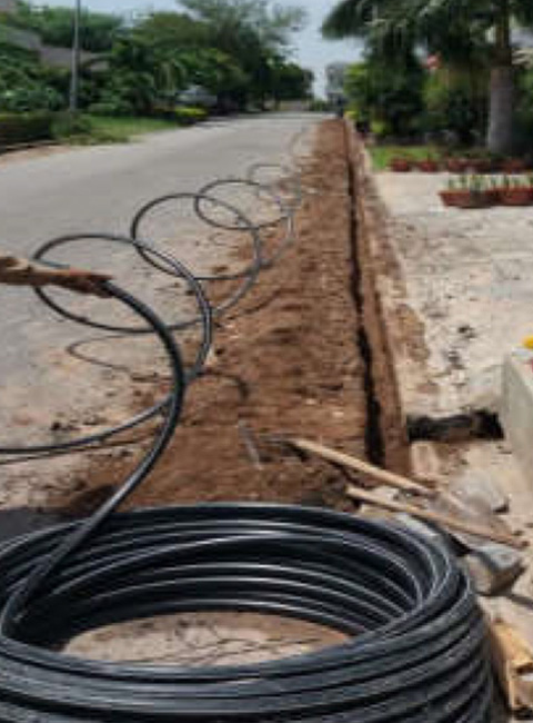
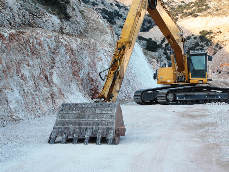
The project is executed by our certified teams using approved materials, best practices, and strict quality controls.
Our experts create detailed designs, timelines, and resource plans, ensuring compliance with standards and seamless execution.
We conduct thorough testing, complete final inspections, and provide documentation, training, and ongoing support to ensure long-term performance.
Phone No.
Rawalpindi, Islamabad, Pakistan
Through dedication, cutting-edge solutions, and a client-first approach, we have earned a reputation for excellence. Each project is a testament to our technical expertise and commitment to delivering results that exceed expectations.